
 Deutsch
 Español
 Français
 Italiano
 Nederlands
 English
Sale!
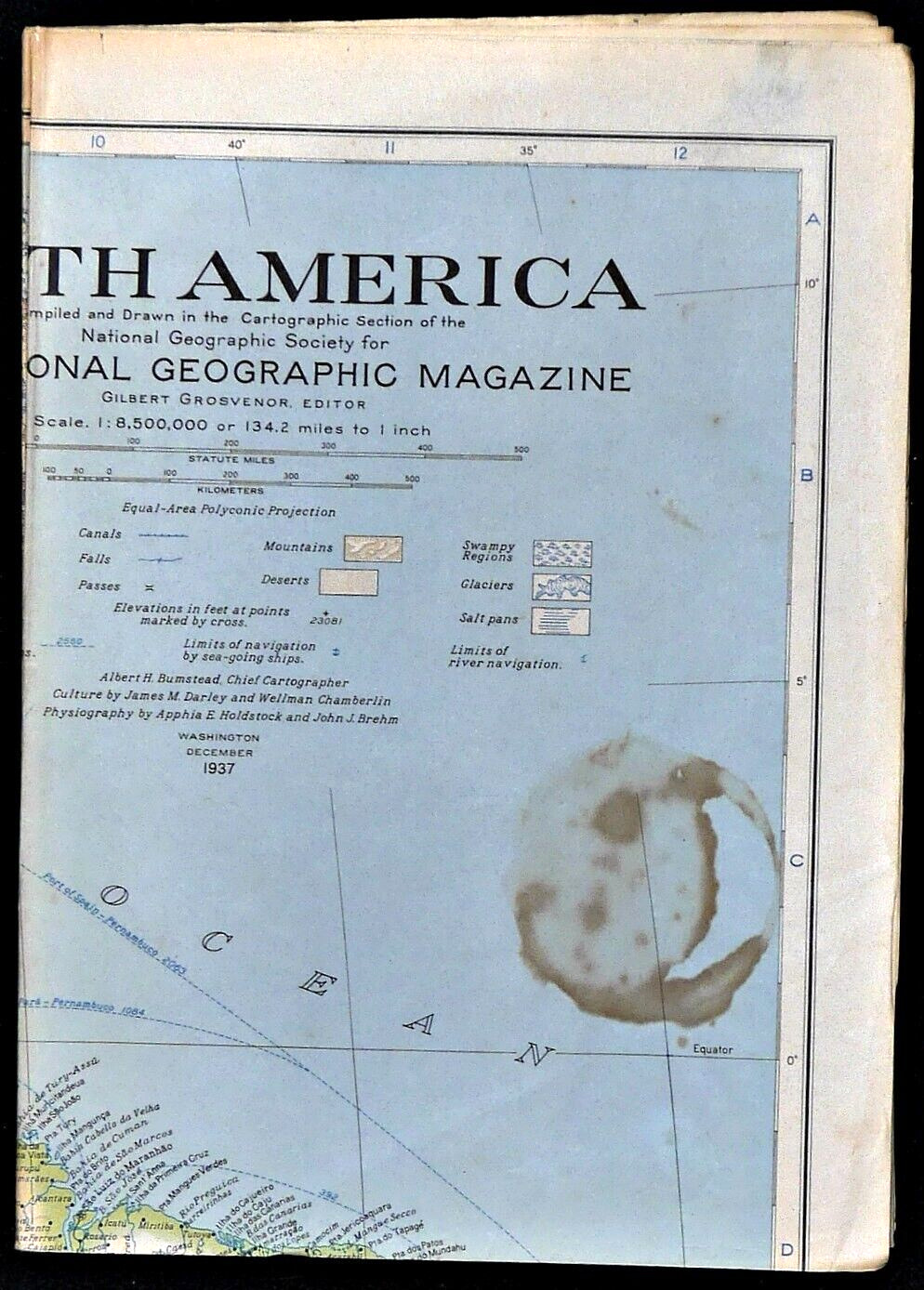
1937-12 December SOUTH AMERICA National Geographic Single-side Map – B (563)
$2.61
88
- Condition: Actual photos of item. 2-3 pinholes at fold intersections, NOT reinforced with tape. Stain on front cover & back. Discoloration on fold lines. Otherwise in Good condition with no other significant issues noted. B
- Country/Region of Manufacture: United States
- Modified Item: No
- Year: 1937
Description
1937-12 December SOUTH AMERICA National Geographic Map –
B (563)
Single-side map in the classic National Geographic political style (shows country borders) of South America with a small portion of Panama. There are map insets of the Natural Resources, the Galapagos Islands, Geographic Equivalents, and Precipitation & Temperature.
Map is approximately 26” x 37”.
The National Geographic is known for it’s fine maps & detailed information.
Supplement to the National Geographic Magazine; magazine is not included.
U.S. economy domestic shipping (normally 3-10 business days) is FREE; faster service is available if needed.
International shipping is by weight – contact us for discounted shipping rates before you purchase.